
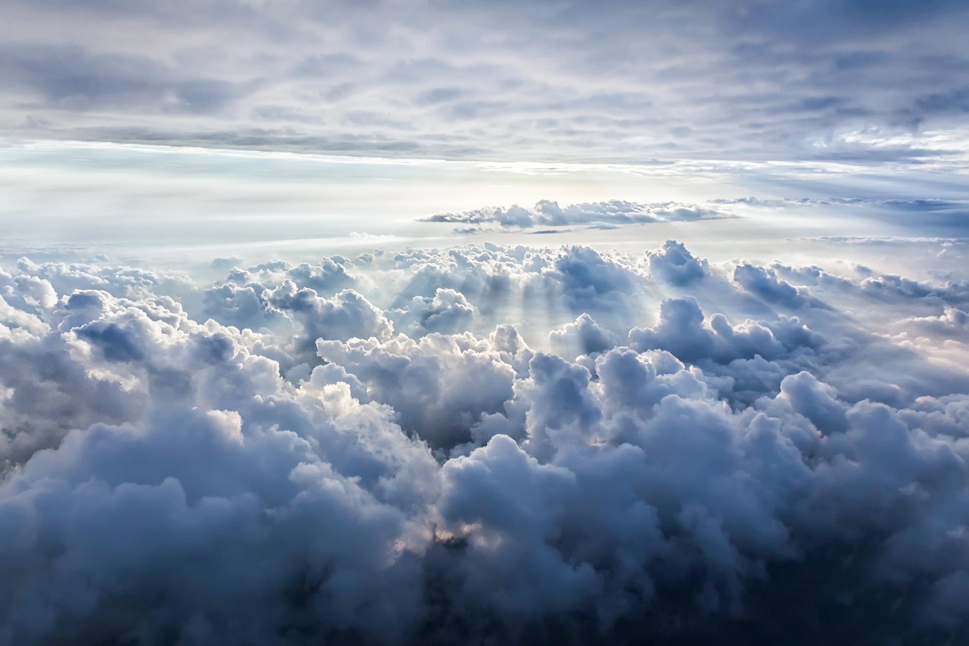
Clouds that exist in the Earth’s atmosphere and can be seen in the sky are among the natural formations of nature. They are usually white or gray in color and come in different shapes and sizes. In addition to coloring the sky, these natural formations also indicate symptoms of meteorological phenomena.
Clouds are formed by the condensation of moisture in the atmosphere. When moist air rises, it cools and evaporates, causing water droplets or ice crystals to form. When these droplets or crystals come together, they form a cloud. The shape and size of clouds vary according to the altitude, temperature and humidity at which they form.
Cumulus Clouds are the most common clouds observed in the sky and most often appear in sunny weather. They create mesmerizing landscapes due to their fluffy appearance and the limited space they occupy. Usually white or gray in color, Cumulus Clouds can reach heights of up to 2,000 feet. These clouds form when warm air elevates and collapse when the air movement continues.

The Cirrus Clouds can usually be observed at high altitudes at around 20,000 feet. They are distinguished by their fine and fibrous structure and can be white or gray in color. Cirrus clouds can be seen under the sun’s rays as a thin rope or net. These clouds are often associated with cold and dry air masses and usually precede or follow a storm.
Stratus Clouds look like a gray or white blanket. They are usually flat and they span the sky, blocking the Sun. Stratus clouds appear in wet weather, such as when there is rain or snow. These are usually flat, sheet-shaped clouds and they can reach heights of up to 2,000 feet.
Nimbostratus clouds usually appear as a dense cloud cover and are gray or dark in color. There may be continuous and heavy rain or snowfall under these clouds. These clouds are usually between 2,000 feet and 20,000 feet in height. These clouds are usually at a lower altitude than the previous “altostratus” type clouds.
At over 60,000 feet high, cumulonimbus clouds are the highest cloud formations from Earth. In long, pointed shapes, these clouds are often associated with stormy weather. Cumulonimbus clouds can often cause severe weather events such as lightning, thunder, lightning, hail and heavy rain or snowfall. Clouds of this type are clearly visible in the sky and can sometimes rise above other types of clouds.
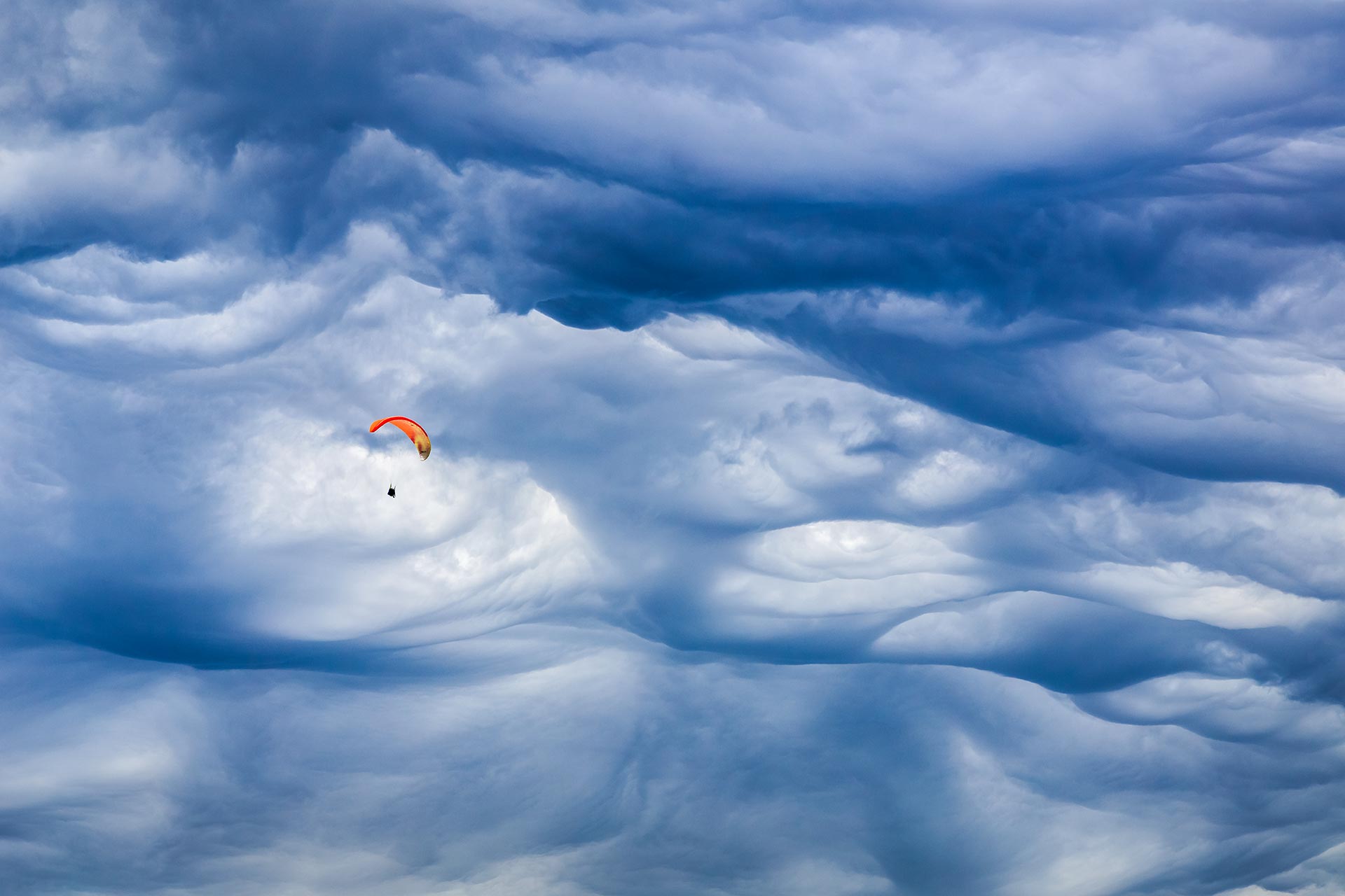
Drooping, bag-shaped appearances, Mammatocumulus clouds are often seen below or near cumulonimbus clouds. There may be heavy rain or storms under these clouds. Mammatocumulus clouds are often associated with lightning, thunder and hail.
In elliptical or lens-shaped forms, lenticularis clouds are often seen near mountains. These clouds usually stay at a fixed point and are generally formed under a strong wind current. Lenticularis clouds can display spectacular colors during sunrise or sunset for a visual feast.
Contrail clouds are artificial clouds resulting from air traffic. Hot water vapor from aircraft engines can condense into a cloud in cold and humid air conditions. These clouds usually form at altitudes above 30,000 feet and are white in color. Contrail clouds can sometimes put on a spectacular show together with the Sun’s rays.